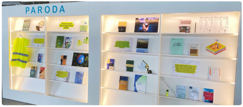
You are invited to the exhibition “The Art of Land Surveying in Topographic Visions”, which is on the third floor of the Library. The exhibition features books on surveying, topography and cartography, reflecting the subtleties of these sciences and their work, and highlighting the importance of the creative thinking and aesthetic sense they require.
Geodesy is the science of studying the shape, size and gravitational field of the earth, and locating points on the earth’s surface in space. It covers a wide range of activities, from global measurements of the Earth’s dimensions to the precise positioning of local land parcel boundaries and infrastructure. Topography is the discipline concerned with the documentation and representation of landforms, including mountains, valleys, rivers and man-made structures. It is important for map-making and is used in planning, construction, navigation and environmental sciences to provide essential information on the characteristics of an area. Land surveys are vital for planning infrastructure projects, managing natural resources, as well as for protecting the environment and responding to natural disasters. They allow accurate positioning of the land surface, the formulation of land-use strategies and sustainable development.
Surveying and topography cannot be considered as strictly technical works because of their close relationship to artistic and visual expression. Mapping and data visualisation require not only technical precision, but also aesthetic sensitivity and creative thinking in order to convey complex and multidimensional information about our planet.